Category Archives: Mpala

Global Positioning Systems

Saturday, 16 June 2012

According to the GPS map on the little screen on the seat in front of me, we’re flying over the North Atlantic now, midway between the spot where the Titanic went down in 1912, and the Corner Seamounts.

Usually when I fly to Africa, the first leg is a flight to Europe, usually overnight. Then, after an early morning layover in London, Brussels or Amsterdam, we board a southbound plane that flies all day to Nairobi, Entebbe, or Dar es Salaam. But today we’re flying on a Boeing 787, which can fly straight to Africa on a single tank of fuel. And instead of taking off in the afternoon or evening and flying overnight, we left Washington Dulles in the morning. After some 13 hours in the plane, we’ll arrive in Addis Ababa Sunday morning.

While much of the routine is familiar, there have been many changes over the past 20 years. When I first flew to Africa, they showed movies on a few small, dim screens in the forward section of the cabin. Now the back of every seat has its own screen with a choice of movies, television, and GPS maps.

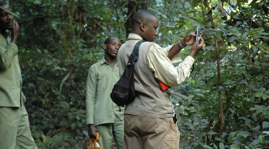
It’s fun to watch the plane slowly crawl across the world on the GPS map. Twenty years ago, GPS technology was just becoming available for civilian use. Towards the end of my time in Kenya, Jeanne Altmann brought a GPS unit to Mpala to help map the baboon ranging patterns. It was an expensive, bulky, heavy box, and in those days the US government scrambled the signal so that all locations would be off by an unknown number of meters. But it pinpointed locations in a magical way.  At the time, I had been drawing range maps onto photocopies of a map of the study area, estimating location with reference to map features like the meandering wall of the cliff, which snaked along in parallel to the Ewaso Ng’iro river, and the streams, roads, and bomas (corrals for cattle and sheep). When we got up into the plateau above the escarpment, landmarks disappeared, and my estimations of where we had gone got worse and worse. A GPS would have been nice to have!

All these new gadgets, like GPS wristwatches and handheld units with global terrain maps, make it  seem like the field of primatology has moved quite slowly in comparison. We still do basically the same thing: following primates around, watching what they do, recording behavior as systematically as we can, trying to answer research questions that really haven’t changed all that much from the 1970s: Why do animals live in the sorts of social groups that they do? What explains differences in behavior between males and females? How does that relate to their ecology?

The questions are simple to state but hard to answer. Ecology, evolution and behavior are all complicated, with lots of moving parts, and it can take many years to get enough data on enough individuals to answer key questions. But even the field does move rather slowly, new tools like GPS technology have helped greatly. We can track locations precisely now. And just like in real estate, the three most important things in much of behavioral ecology are location, location, and location.  Animals need food, safety, water, and mates, and the availability of all these key resources vary in space and time.

At Mpala, each day the baboons traveled a circuit, leaving the safety of the sleeping cliffs in the morning to search for food and returning to safety for the night. One of my favorite parts of studying baboons in Kenya was arriving at the top of the sleeping cliffs before dawn to watch the sun rise over Mount Kenya. The baboons seemed to enjoy the view too, basking in the sun’s rays to warm up from the cool night before starting their day’s search for food. But where to go? How do they decide? How does a group of 50 or 60 quarrelsome monkeys pick a path for the day?

Following baboons at Mpala research camp, Kenya, in 1993

Answering questions like these requires lots of good location data. And now they’ve got GPS units small enough to go on radio collars, enabling researchers to watch the daily paths of baboons and other animals, just as I’m watching the plane on the screen on the seat in front of me creep closer and closer to Africa.

Back to Africa

Today I’m on the plane from Minneapolis to Washington, DC, the first leg of my journey to Africa, where I’ll be visiting Ethiopia and Tanzania.

Twenty years ago, I traveled to Africa for the first time, a few months after graduating from college. Everything was new to me then: the shots and pills for yellow fever, typhoid, malaria, and other tropical diseases; packing long sausage duffel bags with everything I thought I might need for a year of living in a tent; the long flights in which the trans-Atlantic flight to Europe was just a step along the way; trying to learn the basics of Swahili, a language that has somehow gained a reputation for being easy despite having half a dozen different noun classes and totally different grammar and vocabulary from European languages.

Back in 1992, I studied olive baboons at the Mpala Research Camp in the highlands northwest of Mount Kenya. Since then, I’ve spent about a third of my life in Africa. After ten months studying baboons in Kenya, I’ve spent years studying chimpanzees in Uganda and Tanzania. This summer, I’m returning to Gombe National Park in Tanzania, but first I’m traveling to a place that’s new to me: Guassa, in Ethiopia.

My graduate students are working at each of these sites. At Gombe, Lisa is studying food-associated calls of chimpanzees, and Andrea is studying sexual coercion among olive baboons at Gombe. I’ll be traveling to Guassa with Tyler, who will be studying intergroup aggression in gelada monkeys.

Packing for Africa this time involves packing for two totally different climates.

Gombe and Guassa both lie on the Great Rift Valley, a vast set of connected trenches that stretches 3,700 miles from Mozambique to Syria. That’s about as far as going from La Paz, at the southern tip of Baja California, all the way to Fairbanks, Alaska.

This steep, narrow, deep, long valley results from the forces of plate tectonics tearing Africa apart. Eventually, the Horn of Africa will become a big island off the coast of the rest of Africa, just as Madagascar peeled off from Africa some 135 million years ago.

Parts of this valley are underwater: the Dead Sea in Israel, the Red Sea, and the African Great Lakes.

Gombe stands on the edge of a flooded portion of the Great Rift Valley: Lake Tanganyika, the longest and second deepest lake in the world. The Great Lakes of North America pale in comparison to the African Great Lakes. Right now I’m flying over Lake Michigan, which is an impressive body of water, and it parts is over 900 feet deep. Lake Tanganyika, however, is nearly a mile deep, second only to Lake Baikal in Siberia (another rift valley lake).

People often ask me if it’s hot in Africa. What’s hard to grasp is just how huge and varied Africa is. Sure, some parts of it are hot – just like some parts of North America are hot. Getting off the plane in Dar es Salaam, on the east coast of Tanzania, the heat and humidity hit you like a wall.

But Africa is big enough to hold all of the United States, China, India, Japan, and much of Europe. It stretches from a bit further north than Nashville to as far south as Buenos Aires. And much of equatorial Africa lies on high plateaus, which are much cooler than the coastal lowlands.

At the lakeshore, Gombe is 780 m above sea level (about half a mile), and rises steeply up the rift escarpment to peaks up to 1,623 m (over a mile high). The temperature is pleasant year-round. Guassa, on the other hand, is over 3,000 m – over two miles high. From what I hear, it’s cold up there!

I know what I need to pack for Gombe: t-shirts, army surplus fatigues, Kosovo soccer cleats (the best shoes for keeping a person from sliding down the steep hills), and a waistpack for fieldwork, and swimsuit, fins, snorkel and mask for swimming in the lake.

But I’m less sure of what to pack for Guassa. The list of suggested field clothes includes a short-sleeved t-shirt, a long-sleeved t-shirt, a fleece jacket, a wind-proof jacket, raingear, long pants, long underwear, wool hat, a broad-rimmed white hat to go over that (apparently the gelada monkeys know that researchers wear white hats and are therefore safe to approach), and waterproof gumboots.

In the end I packed two suitcases: a big one for Guassa, and a smaller one for Gombe. I hope I’ve got what I need!

Packed and ready to go